


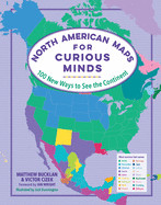


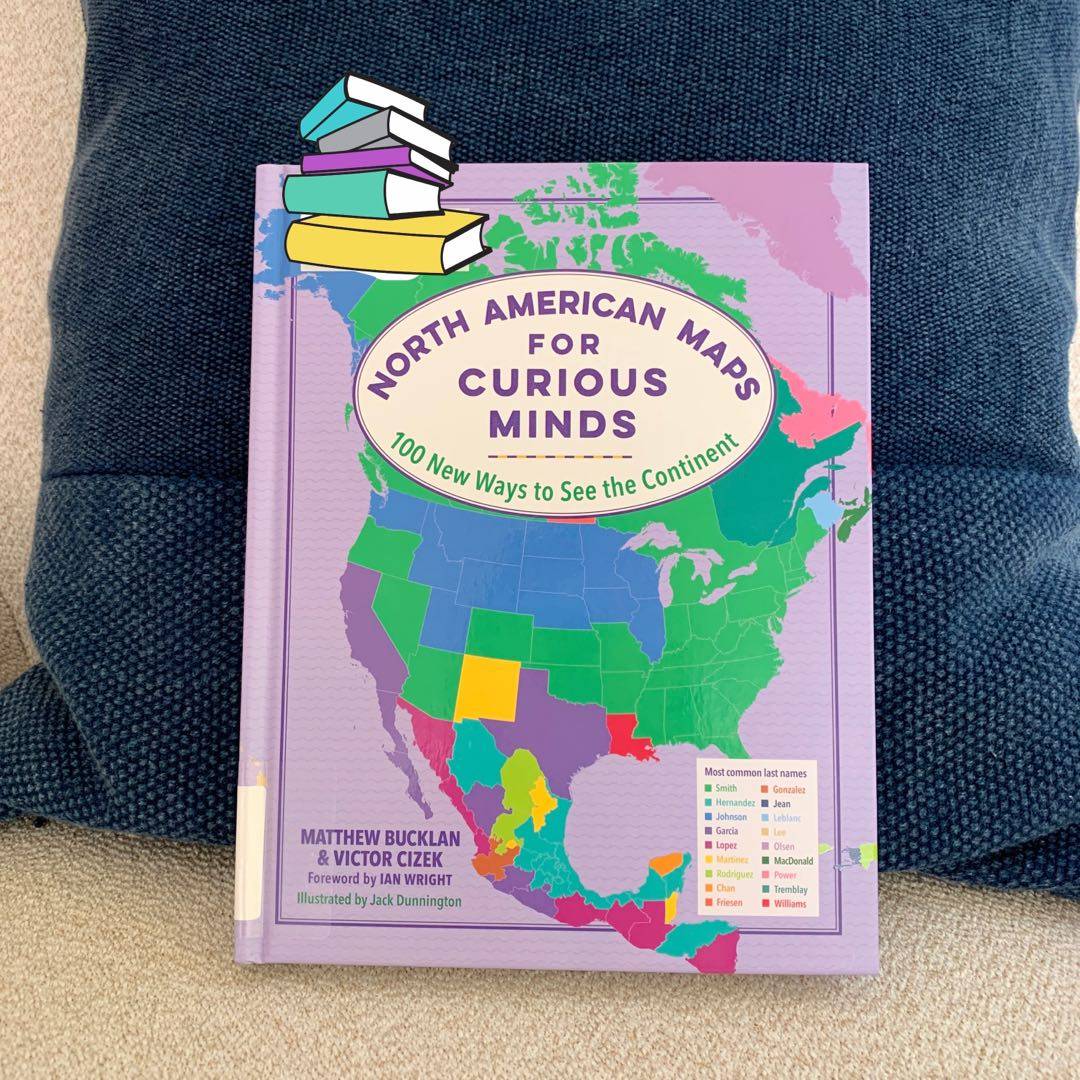
📖 3-12-22 || 100 New Ways To See The Continent
Original and thought-provoking maps of North America:
How many waffle houses there are by latitude;
Most common surname in every state and country; Ratio of vacation homes to unhoused people in every state;
States with populations smaller than New York City; etc. Fascinating!
LindaLappin fascinating & curious. Wonder how they decided on what to choose & how they gathered data. 3y
Kristin_Reads @LindaLappin All the sources are cited for each entry and the topics are grouped by subject. It really is an Interesting book! 3y
LindaLappin @Kristin_Reads my husband would love this book -- he draws maps and is fascinated by odd statistics. thanks for posting! 3y